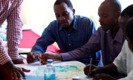
This is a story of conservation resilience in two countries, Liberia and Cote d’Ivoire, which are part of the West Africa Biodiversity Hotspot. IMET assessments were conducted in the land...
World Heritage sites are recognized as having “outstanding universal value” under the Convention Concerning the Protection of the World Cultural and Natural Heritage (the World Heritage C...
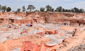
Tropical moist forests have a huge environmental value. They play an important role in biodiversity conservation, terrestrial carbon cycle, hydrological regimes, indigenous population subsistence and ...
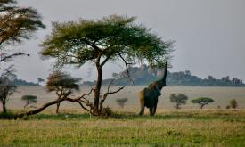
Protected areas in Africa play a critical role in biodiversity conservation, supporting livelihoods, and mitigating climate change. This tool offers a comprehensive analysis of the dynami...
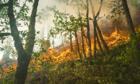
The Copernicus Global Land Service - Burnt Area products depict burn scars, surfaces which have been sufficiently affected by fire to display significant changes in the vegetation cover (destruction o...
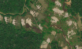
The EC JRC global map of forest cover provides a spatially explicit representation of forest presence and absence for the year 2020 at 10m spatial resolution.The year 2020 corresponds to the cut-off d...
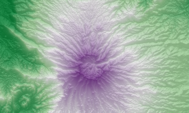
The Copernicus DEM is a Digital Surface Model (DSM) that represents the surface of the Earth including buildings, infrastructure and vegetation. It is offered in three resolutions and two extents (Glo...
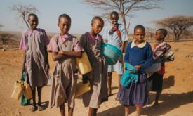
Assessing the vulnerability of African countries to infectious disease outbreaks and the role of water, sanitation and hygiene (WASH) services in preventing them.