The erosive force of rainfall (rainfall erosivity) is a major driver of soil, nutrient losses worldwide and an important input for soil erosion assessments models. This map shows the geographical dist...
The erosive force of rainfall (rainfall erosivity) is a major driver of soil, nutrient losses worldwide and an important input for soil erosion assessments models. This map shows the geographical dist...
The erosive force of rainfall (rainfall erosivity) is a major driver of soil, nutrient losses worldwide and an important input for soil erosion assessments models. This map shows the geographical dist...
The erosive force of rainfall (rainfall erosivity) is a major driver of soil, nutrient losses worldwide and an important input for soil erosion assessments models. This map shows the geographical dist...
The erosive force of rainfall (rainfall erosivity) is a major driver of soil, nutrient losses worldwide and an important input for soil erosion assessments models. This map shows the geographical dist...
The erosive force of rainfall (rainfall erosivity) is a major driver of soil, nutrient losses worldwide and an important input for soil erosion assessments models. This map shows the geographical dist...
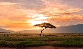
In most people's mind, soil would not figure highly in a list of the natural resources of Africa. However, healthy and fertile soils are the cornerstones of food security, key environmental services, ...
The Africa Surficial Lithology layer maps the geology of Africa into 20 classes based on the bedrock type and the distribution of unconsolidated surface material. It shows the distribution of the key ...
The Africa Topographic Moisture Potential layer classifies the landscape of Africa as either upland or lowland (and other depressions) area. It was produced as part of the USGS’s Africa Ecosystems Map...
Humans need increasingly more biomass for food, fodder, fibre and energy. Meeting these demands changes global ecosystems. Tracking changes in total biomass production or land productivity is an essen...
Aridity represents the ‘dryness’ of the climate. Dry areas have a higher potential for land degradation. This layer displays the areas of concern for aridity related issues derived from the convergenc...
Roots are a long term and stable carbon sink, accounting for about 0.4 of the above ground biomass across biogeographical regions. Well established and developed root systems provide various ecosystem...
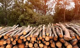
The CO2 fixed by photosynthesis is one of the most important components of the carbon cycle. Forests play a key role in this process. They represent large and persistent carbon sinks. Tree carbon stoc...
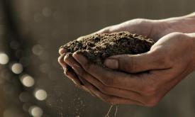
Soil organic carbon (SOC) is the carbon that remains in the soil after partial decomposition of any material produced by living organisms. It constitutes a key element of the global carbon cycle throu...