Title: Africa Regional Centres of Excellence - ArcX: Climate Change Resilience.
Main Objective: Strengthen the climate change and disaster resilience in Sub-Saharan Africa, by improving scientific and technological capacities of the Regional Centers of Excellence, their co-ordination and capacity to contribute to policy and decision making.
Areas of Impact: Early Warning and Disaster Risk Reduction; Digital Transformation and AI Innovation; Climate Information Systems Strengthening; Research and Knowledge Generation; Capacity Development and Partnerships
Target Groups: African Regional Climate Centres (RCCs); National Meteorological and Hydrological Services (NMHSs); Regional Specialized Meteorological Centres (RSMCs); African Union Commission (AUC); Disaster Risk Reduction agencies; Water basin authorities; Agricultural advisory services; Climate planners; Early warning Systems; Academia and research institutions
ArcX Partners: to be defined
Component Coordinator: European Centre for Medium-Range Weather Forecasts (ECMWF)
Leading Regional Centre of Excellence (RCoE): to be defined
Scientific and Technical Support from EC - DG JRC: JRC Unit D6 (Nature Conservation and Observations); JRC Unit E1 (Disaster Risk Management).
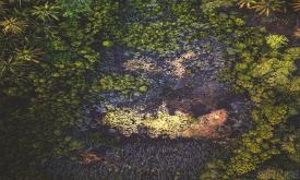
Seagrass is found on all continents except Antarctica, covering roughly 0.1% of the ocean floor. However, its global extent remains inadequately mapped, with estimates varying between 160,387 km² and ...
Seagrass is found on all continents except Antarctica, covering roughly 0.1% of the ocean floor. However, its global extent remains inadequately mapped, with estimates varying between 160,387 km² and ...
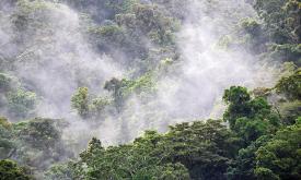
Tropical moist forests have a huge environmental value. They play an important role in biodiversity conservation, terrestrial carbon cycle, hydrological regimes, indigenous population subsistence and ...
This data represents the total built-up volume between 1975 and 2030 in 5 year intervals over cells of 1x1 km size.
It derives from the GHS-BUILT-V - R2023A spatial raster dataset, that depicts t...
These layers present the application of the Degree of Urbanisation stage I methodology recommended by UN Statistical Commission to the global population grid generated by the JRC in the epochs 1975-20...
This data represents the distribution of human population between 1975 and 2030 in 5 year intervals over cells of 1x1 km size.
It derives from the GHS-POP - R2023A.
Residential population estimat...
This data represents the distribution of human population between 1975 and 2030 in 5 year intervals over cells of 100x100 m size.
It derives from the GHS-POP - R2023A.
Residential population esti...
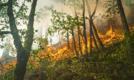
The Copernicus Global Land Service - Burnt Area products depict burn scars, surfaces which have been sufficiently affected by fire to display significant changes in the vegetation cover (destruction o...
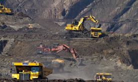
Mining has major economic, environmental and societal consequences, yet knowledge and understanding of its global footprint are still limited. These polygons represent the global mining land use detec...
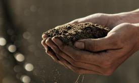
This dataset provides projections of global rainfall erosivity changes, a critical metric representing the erosive force of rainfall that drives worldwide soil and nutrient loss. These maps serve as e...
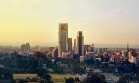
Africa is projected to have the fastest urban growth rate in the world — by 2050, Africa’s cities will be home to an additional 950 million people. Urban planning and management are essential developm...
Forests worldwide are in a state of flux, with accelerating losses in some regions and gains in others. Given the recognized importance of forest ecosystem services, quantification of global forest ex...
Increasing water scarcity and water quality issues are serious constraints, especially for Northern Africa. A comprehensive assessment of spatial and temporal precipitation frequency is the initial st...
Tropical moist forests have a huge environmental value. They play an important role in biodiversity conservation, terrestrial carbon cycle, hydrological regimes, indigenous population subsistence and ...
Tropical moist forests have a huge environmental value. They play an important role in biodiversity conservation, terrestrial carbon cycle, hydrological regimes, indigenous population subsistence and ...