
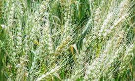
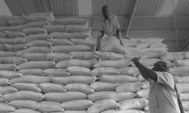
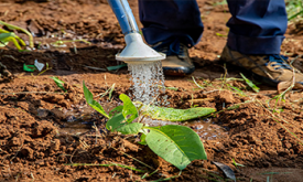
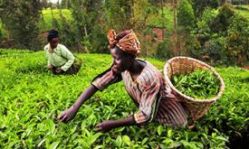
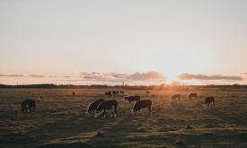
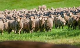
Food Security & Agroecology

Objectives: 

  1. Strengthen the scientific, technological, and institutional capacities of Specialised Regional Organisations (SROs) and RMRNs/RCoEs in agroecology to produce, collect, access, process, share data/information and to conduct impactful research activities using a gender-sensitive approach.
  2. Enhance the contribution of RMRNs/RCoEs in agroecology to transformative, high-quality research and the generation and dissemination of scientific knowledge.
  3. Improve cross-sectoral and cross-regional coordination and strategic steering of RCoEs to address the challenges related to Science, Technology and Innovations in Africa’s green transition. 

Location: Eastern Africa, Western Africa, Central and Southern Africa 
Duration: 36 months 
Budget: €2 million 
Lead Organisation: Forum for Agricultural Research in Africa (FARA), JRC Thematic Unit 

Regional Centres of Excellence: 
Eastern Africa: International Centre for Insect Physiology and Ecology (ICIPE)
Western Africa: West and Central African Council for Agricultural Research (CORAF)t
Southern Africa:  Centre for Coordination of Agriculture Research and Development (CCARDESA)


Available Resources
Displaying 1 - 15 of 53
This layer shows the percentage of children under 5 experiencing severe wasting — the most critical form of acute malnutrition. These children face a significantly higher risk of mortality and require...
This layer shows the percentage of children under 5 years of age who are underweight, based on low weight-for-age. Underweight is a composite indicator capturing both chronic and acute undernutrition....
This layer shows the prevalence of wasting among children under 5 years of age (in %) — a sign of acute undernutrition indicated by low weight-for-height. Wasting reflects recent and severe weight los...
This layer shows the prevalence of stunting among children under 5 years of age (in %) — a form of chronic undernutrition reflected in low height-for-age. Stunting can result from prolonged food insec...
sdg icon
Water Footprint in Africa, considered as the sum of both the green and blue WF and defined as the ratio between evapotranspiration (in m3 per hectare) and crop yield (in ton per hectare). The values a...
The map is based on Copernicus Global Land Cover data which shows actual land cover (what physically covers land across the globe—forests, grasslands, croplands, lakes, wetlands, built-up area, etc) a...
Measuring food insecurity in Africa, identifying root causes, and finding long-term solutions.
The Copernicus DEM is a Digital Surface Model (DSM) that represents the surface of the Earth including buildings, infrastructure and vegetation. It is offered in three resolutions and two extents (Glo...
How geographical analyses support European Commission efforts to unlock tangible impact through the AU-EU Innovation Agenda
Monitoring climate extremes impact on Agriculture in Southern Africa with the Anomaly Hotspots of Agricultural Production (ASAP).
Global data sets on the geographic distribution of livestock are essential for diverse applications in agricultural socio-economics, food security, environmental impact assessment and epidemiology.Thi...