
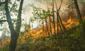
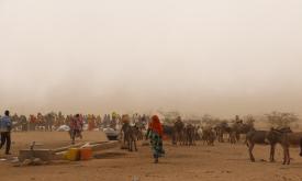
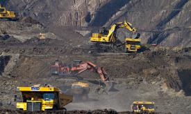
Climate and Disaster Resilience

Climate Resilience


Available Resources
Displaying 46 - 60 of 95
The Copernicus Global Land Service - Burnt Area products depict burn scars, surfaces which have been sufficiently affected by fire to display significant changes in the vegetation cover (destruction o...
This GHS-POP spatial raster product (GHS-POP_GLOBE_R2023) depicts the distribution of human population, expressed as the number of people per cell. Residential population estimates at 5 years interval...
The GHS-BUILT-S spatial raster dataset depicts the distribution of the built-up (BU) surfaces estimates between 1975 and 2030 in 5 year intervals and two functional use components a) the total BU surf...
International collaboration and capacity building to manage chemical and biological risks in Africa
Presenting the eStation, a software deployed in Africa to acquire and process Earth Observation data, and two of its applications for fishing (in Tanzania) and farming (in the Sahel). ...
A hybrid transition map is available at a resolution of 10m for the period from 1990 to 2022. This beta version combines the recently updated TMF map for the year 2022, derived from Landsat images at ...
Mining has major economic, environmental and societal consequences, yet knowledge and understanding of its global footprint are still limited. These polygons represent the global mining land use detec...
GHS-BUILT-S R2023A - GHS built-up surface grid, derived from Sentinel2 composite and Landsat, multitemporal (1975-2030). The spatial raster dataset depicts the distribution of built-up surfaces, expre...
The erosive force of rainfall (rainfall erosivity) is a major driver of soil, nutrient losses worldwide and an important input for soil erosion assessments models. This map shows the geographical dist...